The use of drones and aerial imaging in tractor operations has revolutionized modern agriculture, providing farmers with unprecedented levels of precision and efficiency. This article delves into the various ways drones and aerial imaging technologies are being integrated into tractor operations, enhancing productivity and sustainability in the agricultural sector.
Introduction to Drones in Agriculture
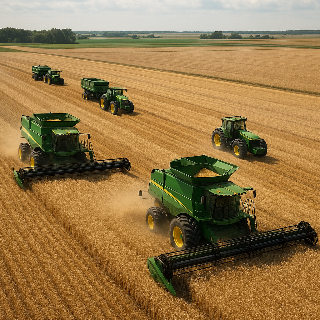
Drones, also known as Unmanned Aerial Vehicles (UAVs), have become an integral part of modern agricultural practices. These high-tech devices are equipped with cameras, sensors, and GPS technology, allowing them to capture detailed aerial images and data. When combined with tractor operations, drones offer a bird’s-eye view of the fields, enabling farmers to monitor crop health, assess soil conditions, and optimize planting and harvesting schedules.
Benefits of Using Drones
The integration of drones into tractor operations offers numerous benefits:
- Enhanced Crop Monitoring: Drones provide real-time data on crop health, identifying issues such as pest infestations, nutrient deficiencies, and water stress. This allows farmers to take timely corrective actions, reducing crop losses and improving yields.
- Precision Agriculture: Drones enable precision agriculture by mapping fields and creating detailed topographical maps. This information helps farmers make informed decisions about planting, irrigation, and fertilization, leading to more efficient use of resources.
- Cost Savings: By identifying problem areas early, drones help reduce the need for excessive pesticide and fertilizer applications, resulting in cost savings for farmers. Additionally, the ability to monitor large areas quickly reduces labor costs.
- Environmental Sustainability: Precision agriculture practices supported by drones minimize the environmental impact of farming by reducing chemical runoff and optimizing water usage.
Aerial Imaging Technologies
Aerial imaging technologies, when used in conjunction with drones, provide farmers with valuable insights into their fields. These technologies include multispectral and hyperspectral imaging, thermal imaging, and LiDAR (Light Detection and Ranging).
Multispectral and Hyperspectral Imaging
Multispectral and hyperspectral imaging involve capturing images at different wavelengths of light, beyond the visible spectrum. These images reveal information about plant health, soil conditions, and water content that is not visible to the naked eye. By analyzing these images, farmers can detect early signs of stress in crops and take proactive measures to address them.
Thermal Imaging
Thermal imaging uses infrared cameras to measure temperature variations in the field. This technology is particularly useful for identifying areas with water stress, as plants under stress tend to have higher temperatures. Thermal imaging can also detect equipment malfunctions in tractors and other machinery, preventing costly breakdowns and downtime.
LiDAR Technology
LiDAR technology uses laser pulses to create detailed 3D maps of the terrain. These maps provide valuable information about field topography, helping farmers plan irrigation systems, drainage, and planting patterns. LiDAR data can also be used to monitor changes in the landscape over time, such as soil erosion and sediment deposition.
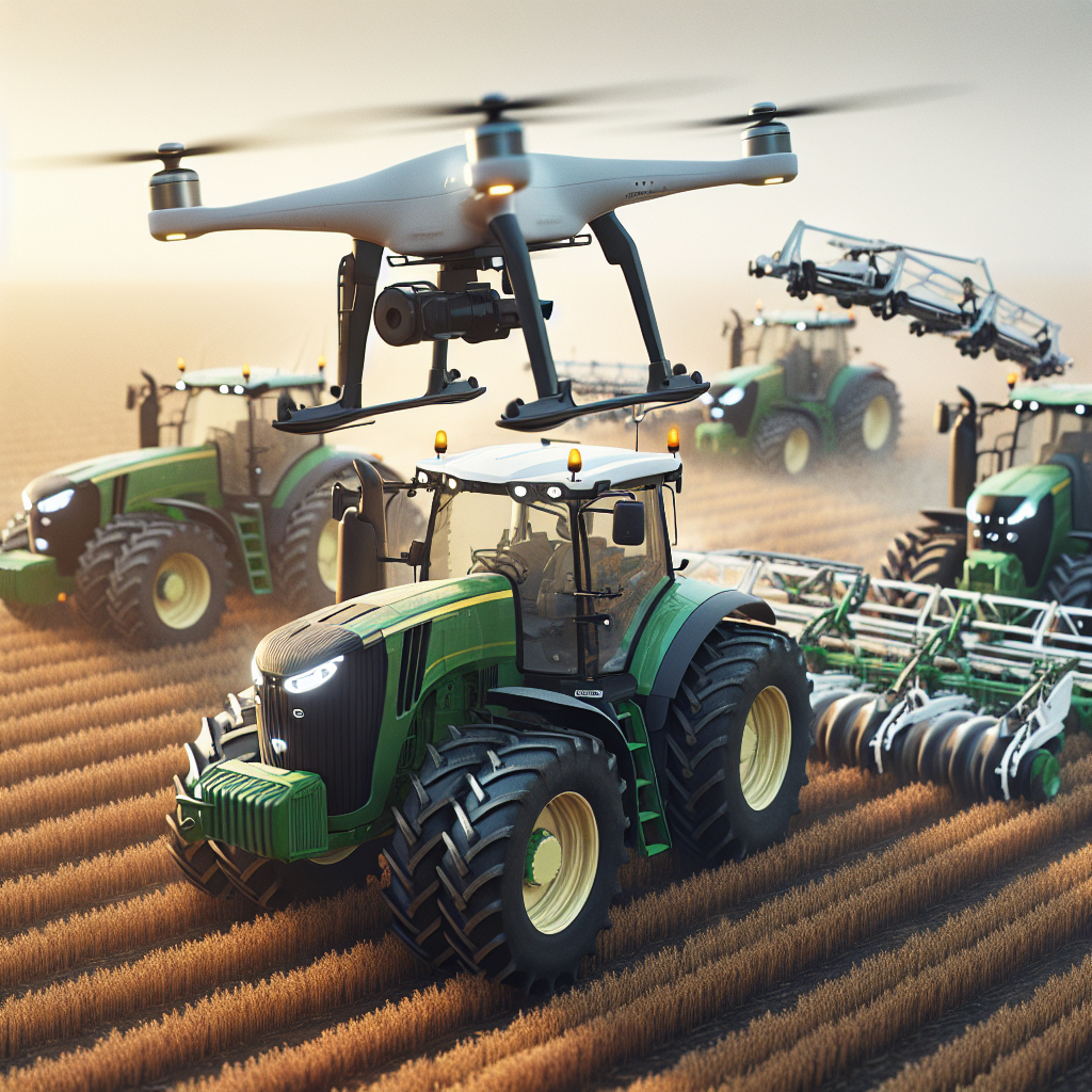
Integration of Drones with Tractors
The integration of drones with tractors involves the use of advanced software and hardware systems that allow seamless communication between the two technologies. This integration enables real-time data collection and analysis, enhancing the efficiency and effectiveness of tractor operations.
Real-Time Data Collection
Drones equipped with sensors and cameras can collect data in real-time as they fly over the fields. This data is transmitted to the tractor’s onboard computer, where it is analyzed to provide actionable insights. For example, if a drone detects a pest infestation in a specific area, the tractor can be directed to apply pesticides only in that area, reducing chemical usage and costs.
Automated Tractor Operations
Modern tractors are equipped with GPS and automation systems that allow them to operate autonomously. When integrated with drones, these tractors can follow precise routes and perform tasks such as planting, fertilizing, and harvesting with high accuracy. This level of automation reduces the need for manual labor and increases operational efficiency.
Challenges and Future Prospects
While the use of drones and aerial imaging in tractor operations offers numerous benefits, there are also challenges that need to be addressed. These include regulatory issues, data management, and the need for skilled operators.
Regulatory Issues
The use of drones in agriculture is subject to regulations set by aviation authorities. These regulations vary by country and can impact the deployment of drones in farming operations. Farmers need to stay informed about the latest regulations and obtain the necessary permits to operate drones legally.
Data Management
The vast amount of data collected by drones and aerial imaging technologies can be overwhelming. Farmers need robust data management systems to store, analyze, and interpret this data effectively. Investing in advanced software and training for data analysis is essential to maximize the benefits of these technologies.
Skilled Operators
The successful integration of drones and aerial imaging with tractor operations requires skilled operators who are proficient in both drone technology and agricultural practices. Training programs and certifications can help farmers and their staff acquire the necessary skills to operate these technologies effectively.
Conclusion
The use of drones and aerial imaging in tractor operations represents a significant advancement in modern agriculture. These technologies provide farmers with valuable insights into their fields, enabling them to make informed decisions and optimize their operations. While there are challenges to overcome, the benefits of integrating drones and aerial imaging with tractor operations are undeniable. As technology continues to evolve, the future of agriculture looks promising, with increased efficiency, sustainability, and productivity on the horizon.