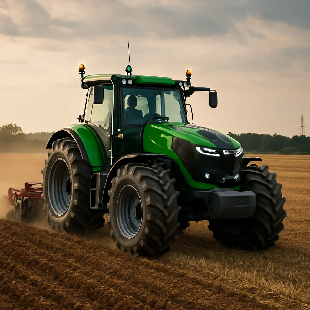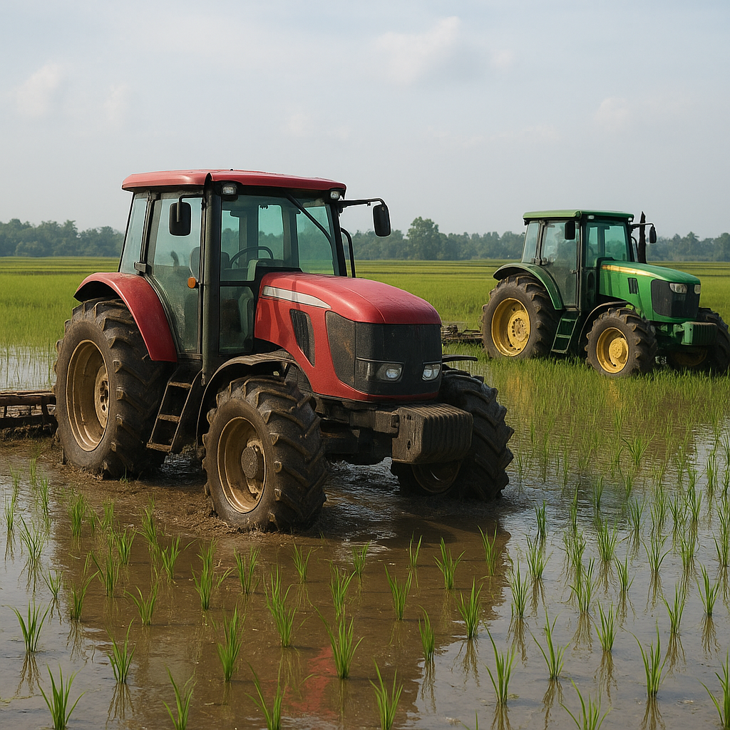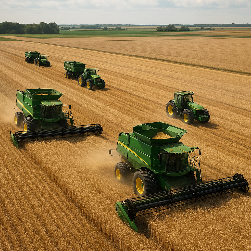
Modern agriculture is witnessing a remarkable transformation driven by satellite-guided implements and the world’s biggest tractors. These colossal machines, once guided by sheer operator skill and local landmarks, now navigate fields with razor-sharp precision. By leveraging satellite control and advanced positioning systems, farmers can optimize seed placement, reduce overlap, and manage resources responsibly. As tractors grow in size and capability, integrating GNSS signals, real-time kinematics, and automated steering unleashes newfound levels of efficiency, improving yields and cutting operational costs.
Evolution of Giant Tractor Design
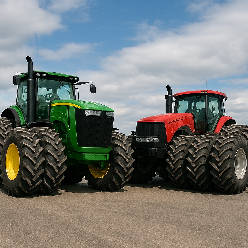
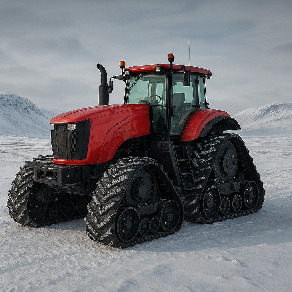
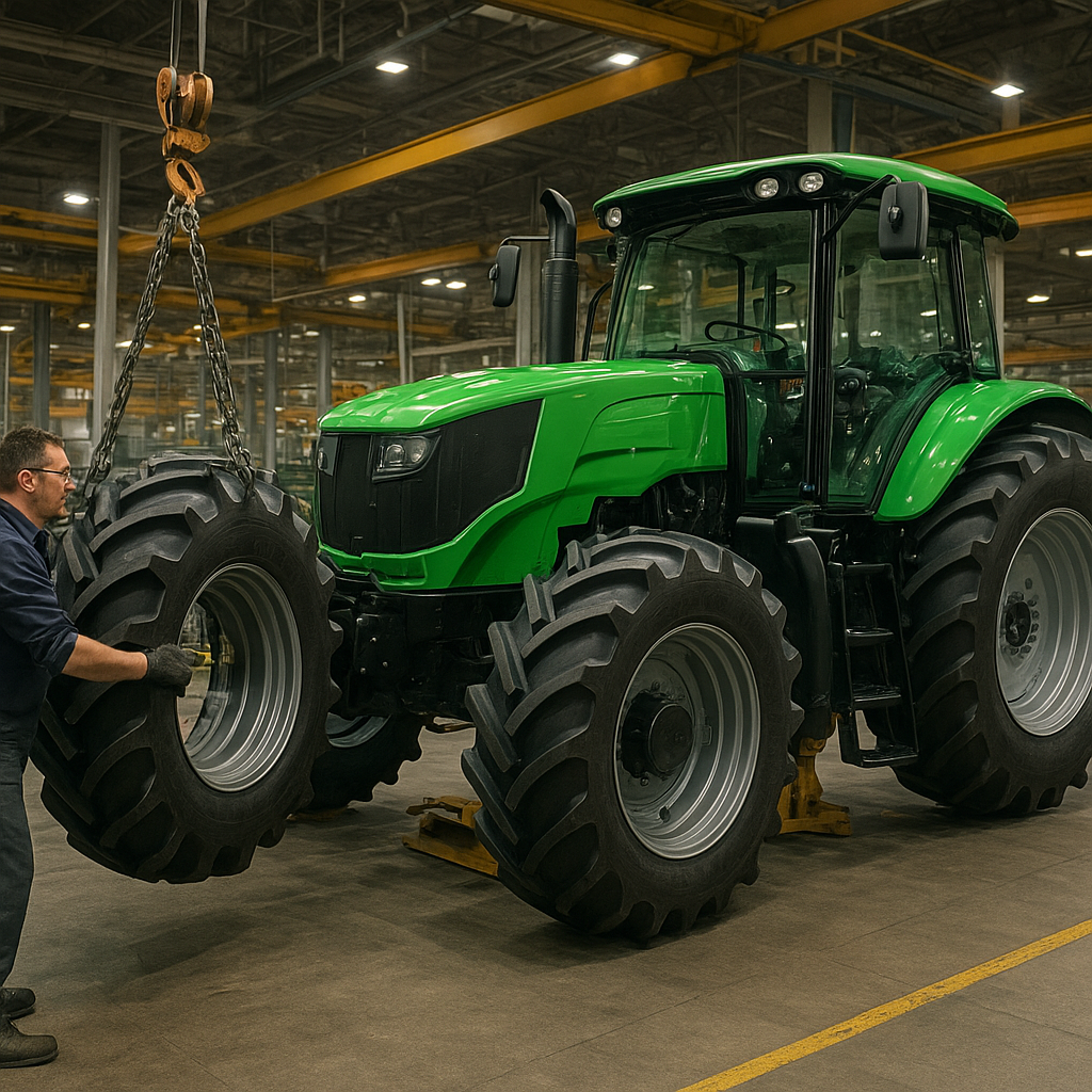
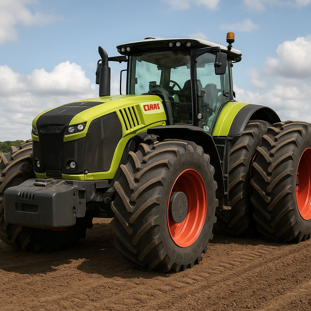
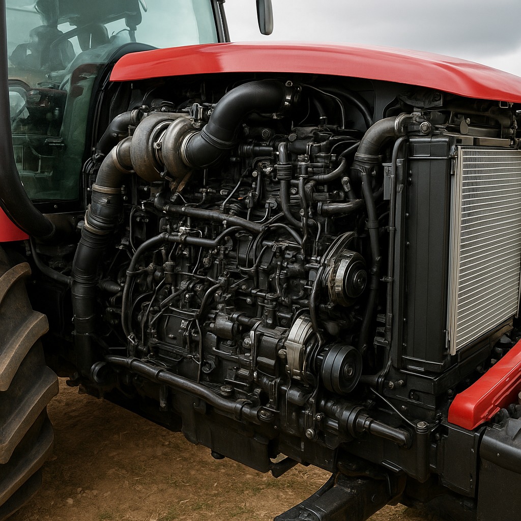
The rise of mega-tractors began as equipment manufacturers pursued greater pulling power and field coverage. Early models weighed under 10 tons and relied on mechanical linkages and rudimentary hydraulics. Today’s giants boast engines exceeding 600 horsepower, track or multi-wheel configurations, and advanced chassis built for high productivity.
- Enhanced chassis stability for uneven terrain.
- Modular attachments enabling multi-purpose use.
- High-capacity fuel systems extending run times.
As these tractors increased in mass and complexity, manual guidance became insufficient to maximize their potential. Any deviation of a few centimeters across hundreds of acres could translate to significant seed or chemical overlap. This challenge prompted the adoption of autonomy and precise positioning technologies that draw on global satellite constellations.
Integration of Satellite Guidance Systems
GNSS and RTK Technologies
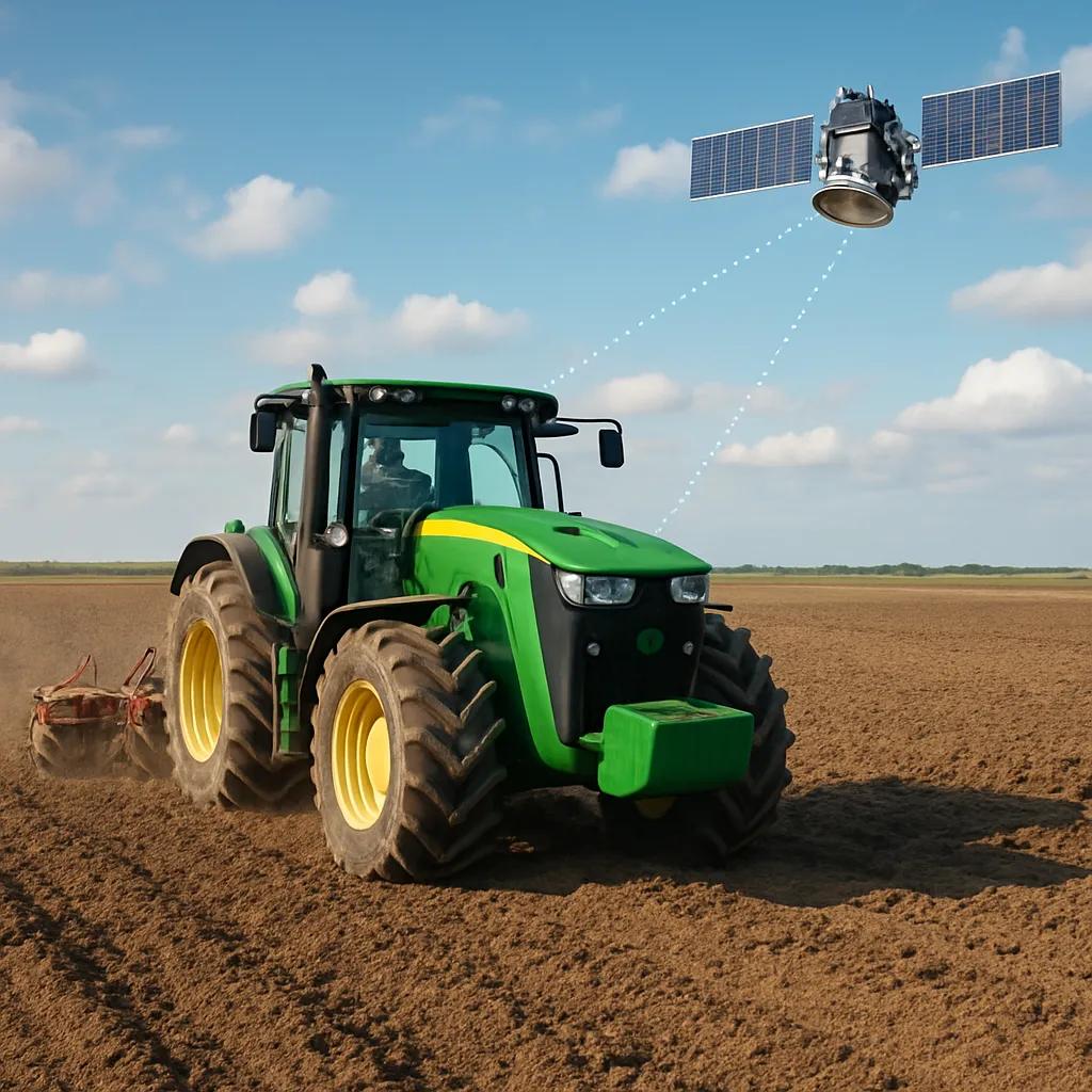
Global Navigation Satellite Systems (GNSS) form the core of modern agricultural guidance. Standard GNSS solutions, like GPS, GLONASS, or Galileo, typically offer 2–5 meters of accuracy. By introducing Real-Time Kinematic (RTK) corrections, accuracy sharpens to within 1–2 centimeters, unlocking the potential for consistent row spacing and minimal waste.
- Differential corrections: Satellite reference stations transmit real-time data to tractors.
- Network RTK services: Wide-area networks ensure centimeter-level precision across vast fields.
- Base station setups: On-site stations provide localized accuracy when network coverage is unavailable.
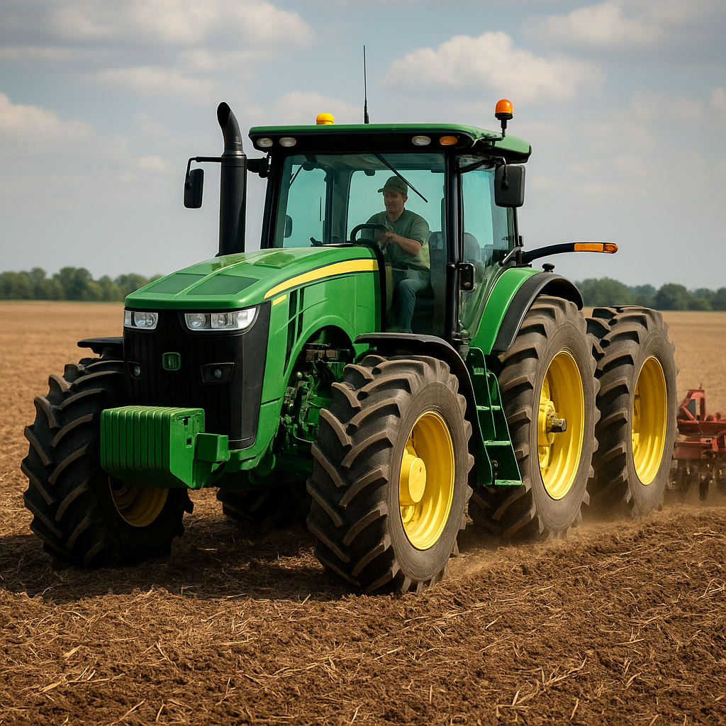
With this exactitude, mega-tractors can sow seeds in perfectly spaced lines, apply fertilizer only where needed, and even navigate complex headland turns automatically. The result is uniform crop emergence, reduced fuel consumption, and significant savings on inputs.
Automated Steering Solutions
Automated Steering, also called Autosteer, pairs GNSS data with on-board electronics and hydraulic actuators. Farmers input field boundaries via software, and the tractor’s system calculates optimal paths to minimize overlap and travel time.
- Steering wheel actuators that respond to satellite guidance.
- Touchscreen interfaces for boundary mapping and task management.
- Seamless handover between manual and automatic modes.
These systems allow operators to monitor performance, manage implements, and communicate with support teams while the tractor maintains perfect alignment. Even in low-visibility conditions, such as fog or dusk, satellite navigation ensures consistent trajectories, boosting overall efficiency.
Operational Advantages and Impacts
Productivity and Cost-efficiency
When mega-tractors run on autopilot, field operations accelerate. Precise headlands reduce idle turns, and consistent pass-to-pass spacing minimizes wasted acreage. Key gains include:
- Time savings: Faster coverage of large fields with fewer retraces.
- Fuel economy: Reduced engine on-time and optimized speed profiles.
- Labor optimization: Operators can supervise multiple machines or tasks.
Cumulative effects translate into better resource allocation and lower per-acre costs. Farmers achieve higher throughput during critical planting windows, ensuring crops have ideal conditions for germination and early growth.
Environmental Sustainability
Precision guidance extends beyond economics into the realm of ecological stewardship. By applying inputs with centimeter-level accuracy, farmers can:
- Minimize chemical runoff into waterways.
- Avoid over-application of fertilizers, reducing greenhouse gas emissions.
- Conserve soil health by preventing compaction in non-target zones.
Moreover, integrated telematics systems provide data for advanced decision-making. Soil moisture, nutrient levels, and yield maps feed into the planning cycle, promoting a circular approach to resource use. These insights empower producers to meet stringent sustainability criteria and comply with regulatory frameworks.
Advancing Connectivity and Data Management
Connected tractors form the backbone of a modern precision agriculture ecosystem. Built-in modems and wireless routers transmit real-time operational data to cloud-based platforms. Farmers can then analyze performance metrics, track fuel consumption, and fine-tune settings even miles away from the field.
- Telematics: Continuous machine health monitoring reduces downtime.
- Field mapping: High-resolution geospatial data supports zone-based management.
- Software integration: Seamless data flow between machinery, farm management systems, and agronomists.
This level of connectivity ensures that every pass of a massive tractor contributes to a growing repository of actionable intelligence. Over time, machine learning and predictive analytics further refine planning, creating a virtuous cycle of performance improvement.
Future Prospects for Big Tractors with Satellite Control
Looking ahead, the synergy between colossal tractors and satellite systems promises even greater advancements. Emerging trends include multi-constellation receivers combining GPS, Galileo, BeiDou, and GLONASS for redundancy and resilience. Integration with unmanned aerial vehicles (UAVs) will enable real-time damage assessments and crop health surveys, feeding immediate adjustments in tractor operations.
Artificial intelligence-driven guidance algorithms will optimize routes dynamically, accounting for weather shifts and soil heterogeneity. As autonomy ramps up, driverless tractors could handle end-to-end operations from seeding to harvest, overseen by a small team in a centralized control center. This evolution marks the dawn of a truly intelligent farming era, where giant machines and satellite networks work in concert to feed a growing population sustainably.